











El Niño: How Will It Affect Snowfall in France in Winter 2026–2027?
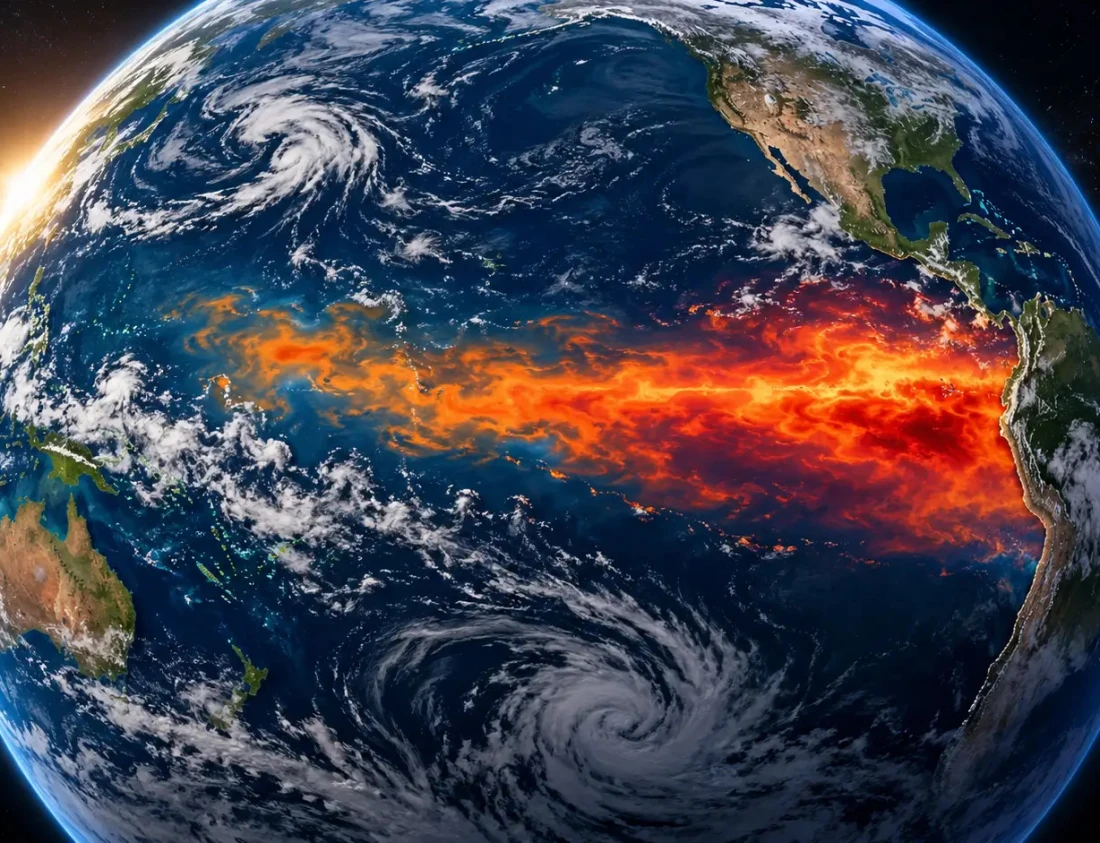
Will El Niño affect snowfall in France during winter 2026–2027? Discover its possible effects on snow conditions, the Alps, and ski resorts.
Autumn has barely arrived, yet ski enthusiasts are already checking resort webcams, the first weather forecasts, and any snowflakes expected on the mountain peaks.
For many skiers, the same question comes up every year: when will we finally be able to put on our skis for the first outing of the winter?
The 2026–2027 season is attracting particular attention because of the return of a well-known climate phenomenon: El Niño. Forecasts published in autumn 2026 indicate an especially strong episode in the tropical Pacific.
But can El Niño really influence winter weather in France? And, more importantly, should we expect more snow in the Alps, the Pyrenees, or France’s other mountain ranges?
What is the El Niño phenomenon?
El Niño is a natural climate phenomenon that occurs in the equatorial Pacific Ocean. It is the warm phase of what climatologists call ENSO, short for El Niño Southern Oscillation.
During an El Niño episode, surface waters in the central and eastern Pacific become unusually warm. This warming changes exchanges between the ocean and the atmosphere and can disrupt atmospheric circulation on a very large scale.
The effects are particularly significant around the Pacific, where rainfall, temperatures, drought periods, and even cyclone activity can change depending on the region.
However, El Niño’s effects can also spread much farther through a mechanism known as climate teleconnection.
In other words, an anomaly thousands of kilometres away from Europe can contribute to changes in atmospheric circulation over the North Atlantic and then indirectly influence the weather experienced across our continent.
For winter 2026–2027, the phenomenon deserves particular attention. In autumn 2026, the US Climate Prediction Center estimates a probability of more than 90% that El Niño will reach very strong intensity during autumn and winter in the Northern Hemisphere.
How could El Niño affect snowfall in France during winter 2026–2027?
This is obviously the question skiers are most interested in.
Unfortunately, there is no simple rule such as:
El Niño = a very snowy winter in France.
El Niño’s influence on Europe is far less direct than it is on certain regions of the Pacific or the Americas.
Nevertheless, Météo-France points out that some trends emerge when previous El Niño episodes are studied.
At the beginning of winter, particularly in November and December, El Niño is statistically associated with lower atmospheric pressure over the North Atlantic. This can favour wetter and relatively mild conditions in Western Europe.
For French ski resorts, this situation could cut both ways.
A more active weather pattern could mean more precipitation over the mountain ranges. But if temperatures remain high, some of that precipitation may fall as rain at low and mid elevations.
The altitude of the rain-snow line will therefore be crucial.
A potentially favourable scenario at high altitude
For ski areas located in high mountains, particularly in the Alps, a more unsettled winter could bring regular snowfall whenever temperatures are low enough.
Resorts with slopes above 1,800 or 2,000 metres could therefore benefit more from frequent precipitation than lower-altitude mountain resorts.
In September 2026, Copernicus indicated that the initial seasonal trends for the European winter favoured above-average temperatures across much of Europe, alongside a generally wet signal across many parts of the continent.
For skiing, this combination of “mild and wet” conditions is particularly important to monitor.
At an altitude of 2,000 or 2,500 metres, a weather system can bring significant snowfall, while at the same time, at 1,000 or 1,200 metres, it may mainly bring rain.
The Alps and the Pyrenees: it is still too early to pick the winners
At this stage of the season, it is too early to say which French mountain ranges will have the best snow cover during winter 2026–2027.
The path of Atlantic depressions, the position of the jet stream, the North Atlantic Oscillation (NAO), and periods of blocking high pressure will probably have a much more direct influence on French snow conditions over periods of a few weeks.
Research nevertheless shows that El Niño can influence North Atlantic circulation, particularly through its interaction with the NAO.
Late in winter, the average signal associated with previous El Niño episodes also differs from that observed at the beginning of the season. Météo-France notes, in particular, a tendency towards more precipitation in south-western Europe, while reminding us that these effects vary considerably from one event to another.
We will therefore need to wait until weather forecasts get closer to the resorts’ opening dates before obtaining more precise indications.
El Niño should not distract us from warming winters
Another factor must be considered when discussing snow cover: the general rise in temperatures.
According to Météo-France, natural snow cover is already declining across all French mountain ranges, particularly at low and mid elevations. In the Alps, some observations also show a significant reduction in the duration of snow cover over recent decades.
This obviously does not mean that there will never be heavy-snow winters again.
Year-to-year variability remains considerable, and a winter can still experience particularly heavy snowfall.
However, as average temperatures rise, the rain-snow line naturally tends to move higher. The same weather system may then produce plenty of snow at high altitude and only rain a few hundred metres lower down.
Conclusion: should we be optimistic about winter 2026–2027?
For enthusiasts already looking forward to their first day on the slopes, El Niño is undoubtedly an interesting factor to watch this winter.
The episode forecast for 2026–2027 could be particularly powerful and contribute to changes in atmospheric circulation over the Atlantic and Europe.
However, it would be premature to conclude that France will automatically experience an exceptionally snowy winter.
The current scenario for Europe points instead towards a generally mild winter with the potential for relatively high levels of precipitation. For skiers, everything will therefore depend on one essential factor: the altitude at which the snow falls.
High-altitude resorts could benefit fully from unsettled weather, while lower-altitude ski areas will remain much more dependent on cold spells.
We will have to wait a few more weeks, watch for the first incursions of cold air, and above all monitor how the rain-snow line evolves.
One thing is certain: as soon as the first real snowfalls cover the slopes, many people will already have their skis ready in the garage.
Comments
No comment at this time!
Leave your comment